Thursday, December 29, 2011

It yurts so bad...

While my Mongol troops are nearing a state of completion, no self-respecting Hordes of the Things army is complete without a stronghold of some kind--a base of operations to defend when the occasion arises. In the case of my Mongols, this means one thing: yurts!

(OK, just in case a dedicated Mongol expert comes along: yes, the actual Mongol word for these things is ger. But yurt is so much more fun to say, and besides, these aren't exactly historical Mongols.)

A quick survey of the internet failed to turn up any satisfactory commercial yurts in 20mm, and the first few results for "model yurt" seemed to be geared towards kids' projects about constructing a functioning yurt starting with the proper latticework walls made of toothpicks or whatnot. For wargaming purposes, I don't really care about the internal structure of my yurts; they just have to look yurt-like. I figured I ought to be able to knock together something out of cardboard and whatnot that would suit my needs well enough.

Turns out this is somewhat easier said than done. It took a bit of work with a compass, protractor, and calculator before I finally came up with a template that would yield the distinctive shallow cone shape of a yurt. But to save you all the trouble, I am reproducing it here!
The long strip should be 260mm long, with the tab at the end being 9mm of that. The circle has an outer diameter of 45mm when flat, and 40 degrees is the angle of the arc removed.

I cut these out and taped them together to form the underlying structure of my yurt, like so:

 Here I've taped the two sections together. The horse and his buddy are just for scale.


It had been my intention to cover the cardboard with a layer of papier-mâché to give the surface some texture and to conceal the join between the two cardboard sections, so I give this a shot, using tissues as the basis for my papier-mâché mix.


As it turned out, tissues were too thin and became waterlogged, giving the yurt a sort of distressingly lumpy look. In addition, the water began to soak the cardboard as well, such that it looked like it was beginning to lose its shape. I applied a layer of brown paper towel over top, hoping to improve the texture issues, but results were sort of mixed. Also, the yurt ended up looking like a biscuit of some sort.


At this point, I figured I might as well try painting the thing. I glued on a thin rubber band to represent the cords that seem to help the yurt maintain its shape. A look back at some pictures of yurts suggests that there really should be two of these. I also glued on a doorway made from a bit of plastic card. (Actually a section of a room key from a hotel...)


With several coats of paint applied, I ended up with something that doesn't look too terrible.


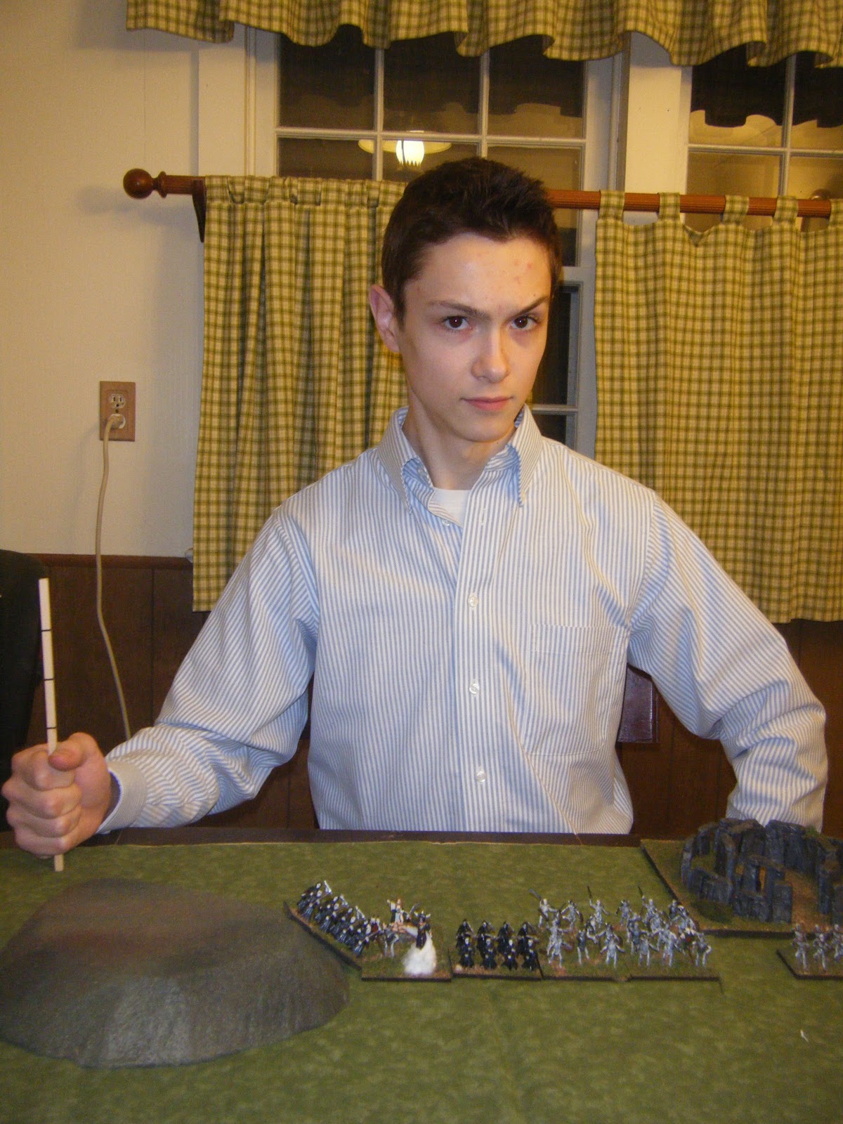
I may do a second one of these at some point, but I'll have to consider how I want to modify the design. The tissue-mâché was definitely a mistake, I think, so I might leave that part out entirely. It would be nice if I could find a way to cut the yurt out of a single contiguous piece of cardboard, but I'm not sure that would be geometrically feasible. Next up, though, I have a couple more stands of riders to finish off--one of them is visible off to the side in this last picture.

Sunday, December 25, 2011

Merry Christmas to all!

Well, now that Christmas is here I can show off what I've been up to all month. Our family prides itself on its Christmas cookies, so a good part of December was spent on baking. Here's a tray with all the assorted varieties in their buttery, sugary glory...


I was actually doing a bit more baking last night on Christmas Eve, so while the blackberry tart was in the oven I inveigled William into playing a game of Hordes of the Things. The match-up was my Mongols against his undead, with him on defense. I guess the Khan got tired of these freeloaders not paying their tribute, so he sent a punitive expedition to convince the lich to pay up.

William is unconcerned.

Things were looking pretty bad at first. I lost a couple of Riders to some tactical mistakes and poor rolling, and one of William's Magicians managed to ensorcel my Hero. (Fortunately not my general...) Down 10-0, things were not looking good.

The expeditionary force rides off.

We start to encounter some setbacks.

Hmm. Not looking so good...

It was about time for a Christmas miracle and lo! one appeared. One of my yakatheriums plunged through a gap in William's lines, evaded his archers and crashed straight into his stronghold. With only one shot at victory before his Hordes closed in, I rolled a six and he rolled a one! 

Victory!

And by that point, the tart was done, and I could go to bed.


In the morning we got up, ate some French toast, and opened some presents. I didn't end up with too much in the miniatures line, though I expect a few dollars of my Christmas money will go towards a box of Zvezda's Golden Horde to add some heavy cavalry to the Mongols...

Anyway, I finally got a chance to present Dad with the results of my secret painting project: character figures of Alleyne Edricsson and Sir Nigel Loring from The White Company, a favorite of his. I'm sure they'll see some action with the rest of his 54mm Hundred Years' War project...

Both Accurate figures. Alleyne, on the left, has had a head swap.

And now it's just about time to head off to Christmas dinner...


Wednesday, December 21, 2011

Maps, part III

What's this? More maps? Indeed!


First up, an aside: if you have been here before, and have seen one of my previous map entries (here and here) you are probably aware of this already. On the other hand, if you are popping in here for the first time, possibly from a Google search or something, I feel I should give you fair warning--these maps are fictional. They do not depict the real world, either currently or at any point in history. They are merely thought experiments. Kids, do not use them as a basis for your research papers.


And now: some maps of South America!


In this world, the Bourbon Reforms of the 18th century turned out slightly differently--most notably, the borders between the Viceroyalty of Peru and the new Viceroyalty of the Río de la Plata were drawn somewhat differently, with most of Upper Peru remaining with the former. The French Revolution and the Napoleonic Wars occur much as they did in our world, but the Latin American wars of independence proceeded differently, as the differences in the Bourbon reforms resulted in some different dynamics within the three Viceroyalties of New Granada, Peru, and the Río de la Plata. Paraguay does not secede from La Plata, and the Royalist position in Peru is stronger.

In fact, Spain never quite loses control of the Viceroyalty of Peru, although the end of the wars in 1825 sees new independent republics in Chile, New Granada (renamed Gran Colombia) and the new United Provinces of the Río de la Plata.

Two of these three were fated not to last. As in our world, Venezuelans grew dissatisfied with their position within Gran Colombia, but in this world their grievances were left to simmer longer, and rather than peacefully dissolving into its constituent pieces, the Gran Colombian government fought a bloody and unsuccessful war to prevent Venezuela from leaving.

The United Provinces fared somewhat better for a time. Larger and stronger than the Argentine Confederation of our world, it fared better in a war against Brazil, recovering the lost Banda Oriental as well as a chunk of Mato Grosso province. But as in our world, there was tension between Federalist and Unitarian factions regarding the influence of Buenos Aires and the revenues it generated. The Federalists, strongest in the richer southern provinces, wanted to retain these revenues, while the northern provinces wanted a unitary government that would distribute them more evenly. 

An rather odd war followed, in which the south basically fought to expel the northern provinces. These formed the Confederation of Tucumán, Paraná, and Paraguay, more commonly known as the Paranian Confederation. Ironically, without the prize of Buenos Aires, the former Unitarians found that a federal model better suited their new nation, while the United Provinces have become increasingly centralized.

Chile, alone of the new republics, managed to avoid any wars, but its leaders were less foresightful than our world, and Chile failed to establish claims to the area around the Straits of Magellan. Instead, these and much of uninhabited Patagonia fell to the French government, who established a number of settlements in the area, following the recommendations of the French explorer Jules d'Urville. Britain, which had also expressed interest in the region, had to satisfy itself with the Falkland Islands, re-establishing its earlier claim while the United Provinces were otherwise occupied.

Now, 50 years after the end of the wars of independence, the course of South American history has diverged significantly from our world... and will diverge further in just a few years with the untimely death of Dom Pedro II of Brazil...


Next up: just a little something I was playing around with in GIMP, trying for a "historical atlas" sort of style--what if Indo-European people had invaded China during the Bronze Age, like they did in India?


 Finally, this one could be considered a sequel of sorts to the map above:
Three thousand years ago, a few bands of wanderers from the Eurasian steppes made a long trek by way of the Gansu Corridor and came to a land that would never be called China. Over time, others followed those first few adventurers, carving out kingdoms for themselves along the Yellow River. Cities burned, armies clashed, generations lived and died. For centuries they warred with the decaying empire of the Shang, until at last the newcomers gained the upper hand. The first kings and conquerors faded into memory and then into myth as their descendants made this land their home, melding with the inhabitants like tin and copper coming together to make bronze--something new, and stronger than either: Heilan.

The Heilanic people were originally a hybrid culture, an Indo-European stratum overlaid on a mainly Huaxia population. Genetically, the Huaxia won out, although a few features--light eyes, brown or reddish hair--still sometimes appear, particularly in the western regions. Linguistically, the new arrivals dominated, although modern Heilanic dialects have diverged immensely from their Indo-European ancestor (and from each other) thanks to millennia of near-isolation, close contact with Sinitic languages, and plain old linguistic drift. Archeological evidence suggests that the native Shang script remained in use for several centuries after the conquest, but was eventually replaced by a new syllabary better suited to the Heilanic languages.

Historically, the greatest rivals of the Heilanic kingdoms have been the Yuht, to their south. In contrast to the varied agriculture of the Heilanics, the Yuht civilization is primarily based on the intensive cultivation of rice. Unsurprisingly given their long history, there has been a great deal of cultural interchange between the Heilan and the Yuht and a number of the smaller kingdoms along the Huai and Yangtze Rivers show the influence of both groups.

To the north and west of the Heilanic kingdoms are the domains of the various nomadic tribes. These tend to be rather ephemeral, but at times their influence has covered much or all of the Heilanic zone. Currently the Tuvans are the most powerful and organized of them. The kingdoms of the Korean peninsula have generally maintained an independent identity; at the moment the mainland kingdom is under some pressure from its Heilanic neighbor to the north. They share the Japanese islands with a number of Ainu states, which have had intermittent contact with the Heilanic states of the mainland since roughly 500 BC.

Technologically, Asia is in somewhat ahead of our timeline's 1500 AD. Gunpowder is known and used, mostly in the form of cannon and matchlock muskets, but bow-armed light horsemen and heavy cavalry are still found in many armies, particularly in the north and west, in a manner reminiscent of 17th century Poland or Russia. Water power is widely used where applicable; a few primitive steam engines are being used in coal mines. Some forms of printing have been in use for centuries, but movable type has not been widely adopted. Naval technology is also more advanced, though the Yuht and the Ainu are the forerunners in those areas.

Contact with the rest of the world varies. Trade networks connect much of the west Pacific and Indian Oceans. India and Persia are often heard of, but rarely visited. The Kingdom of Lat in the distant west is a mere legend of a place where the streets are paved with jade but granite is worth its weight in gold. These stories, together with tales from the Yuht countries about a vast new continent to the south, have sparked an era of exploration, though one somewhat more cautious and so far less rewarding than our worlds'. A few outposts are maintained along the western coast of North America, but for those who want to live a endless forest full of unhappy natives, Siberia is much closer. The rich kingdoms of the south have been weakened by disease, but are still too far away for any potential conquistadors. Traders from the West Coast colonies do visit occasionally, offering silk and iron for chilis, chocolate, and precious metals.

As for what will happen next, only time will tell...

Anyway, as you might have guessed, I haven't been doing much with miniatures lately. But hopefully we'll be able to get some games in over the holidays...